AI Super-Resolution: How Satellite Images Get Centimeter Clarity from Space
Discover how AI super-resolution technology transforms blurry satellite images into centimeter-level clarity, revolutionizing earth observation for urban planning, environmental monitoring, and disaster response.
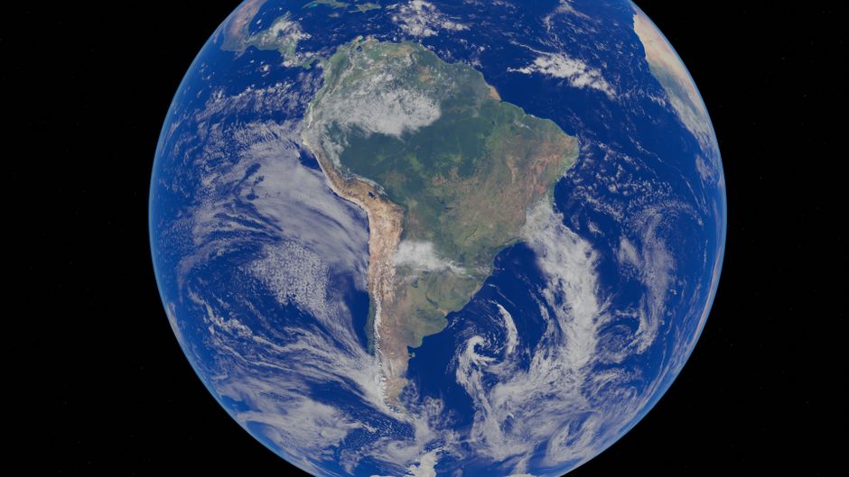
The New Era of Satellite Imagery
Imagine looking at satellite images so clear you can literally count the leaves on a tree from hundreds of miles above Earth. What sounded like science fiction just a year ago is now reality, thanks to groundbreaking AI super-resolution technology that's transforming how we see our planet.
The Problem: Blurry Eyes in the Sky
For decades, satellite imagery has been plagued by a fundamental limitation: resolution. Traditional satellites capture images at resolutions measured in meters, making it impossible to distinguish fine details. This created massive challenges for everyone from urban planners trying to map infrastructure to environmental scientists monitoring deforestation patterns. The alternative—launching higher-resolution satellites—costs billions and takes years to deploy.
The AI Solution: Digital Telescope Magic
The breakthrough comes from an ingenious application of generative adversarial networks (GANs) specifically trained on satellite imagery. These AI systems work by analyzing low-resolution images and "imagining" what the high-resolution version would look like, filling in missing details with astonishing accuracy.
Key features include:
- 100x resolution enhancement from original satellite captures
- Real-time processing through cloud-based API services
- Multi-spectral analysis combining visual, infrared, and other data types
- Adaptive learning that improves with each processed image
Who Benefits? Surprisingly Everyone!
Urban Developers & Planners
Suddenly, city planning departments can identify illegal construction, monitor traffic patterns, and plan infrastructure with precision previously unavailable without expensive aerial photography.
Environmental Scientists
Researchers can now track micro-changes in ecosystems, monitor wildlife populations, and detect environmental violations with centimeter-level accuracy.
Agricultural Experts
Farmers and agronomists can analyze crop health at the plant level, optimizing irrigation and detecting diseases before they spread.
Disaster Response Teams
Emergency services can assess damage after natural disasters with incredible detail, prioritizing救援 efforts based on actual visible damage rather than estimates.
Security Professionals
While raising important privacy considerations, this technology enables border monitoring and critical infrastructure protection at unprecedented levels.
The Technical Magic Behind the Scenes
The system uses a modified version of diffusion models similar to those in image generation tools, but specifically trained on geographical features. What makes this different from typical image enhancement is its understanding of physical constraints—it knows buildings don't float in air and trees follow certain growth patterns.
The training dataset includes millions of paired low/high-resolution images from various satellites, along with aerial drone captures for validation. This cross-validation ensures the AI doesn't "hallucinate" features that don't exist.
Privacy and Ethical Considerations
As with any powerful technology, this raises important questions. The developers have implemented ethical safeguards including:
- Automatic blurring of identifiable human features
- Restrictions on military and surveillance applications
- Transparent processing logs for regulatory compliance
The Future: Real-Time Earth Monitoring
This technology is evolving toward real-time Earth observation. Imagine monitoring climate change impacts as they happen, or tracking wildlife migrations with daily updates. The implications for science, security, and commerce are staggering.
For those interested in how AI is transforming other fields, the autonomous satellite repair robots article explores another revolutionary space technology that's changing how we maintain our orbital infrastructure.
Getting Started with AI-Enhanced Imagery
Several platforms now offer this technology through developer-friendly APIs. Most use credit-based systems where you pay per image processed, with bulk discounts for large-scale applications. The entry barrier is surprisingly low—basic integration can be done in under a day with standard programming skills.
For continuous updates on how AI is transforming our world, follow the cutting-edge analyses at Agent Arena, where we break down complex technologies into actionable insights for professionals across industries.
The resolution revolution is here, and it's changing how we see our world—literally.
Subscribe to Our Newsletter
Get an email when new articles are published.
Article Digest
🔥 Popular Now
#1
The Democratization of Software: How AI is Turning Everyone into a Developer
#2
Apple's Smart Glasses Evolution: Testing Four Designs Signals Strategic Pivot
#3
When AI Tension Spills Onto the Streets: The Molotov Attack on Sam Altman's Home and What It Means for Tech's Future
#4
CUTEv2: The Universal Matrix Engine Revolutionizing CPU Architectures with Zero Overhead
#5
Microsoft's New Enterprise Agent: The Secure Answer to OpenClaw's Risks