Google Maps Grounding: How Gemini 3's Integration Transforms AI's Understanding of the Real World
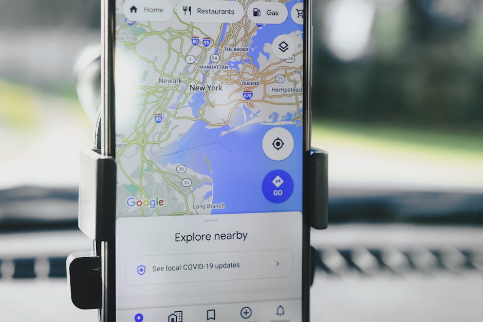
Google Maps Grounding integration with Gemini 3 enables AI models to access real-time location data, navigation, and business information, revolutionizing how AI understands and interacts with the physical world through direct API-level connectivity.
Google Maps Grounding: The Next Evolution in AI Context Awareness
Ever asked an AI about nearby coffee shops and received generic suggestions that may or may not actually exist? That frustration ends now. Google has officially integrated Google Maps Grounding into Gemini 3 models at the API level, creating what might be the most significant leap in AI's spatial understanding since... well, ever.
What Problem Does This Solve?
Traditional AI models operated in a somewhat disconnected reality. They could discuss theoretical concepts about locations, businesses, or navigation, but they lacked real-time, verified connection to the physical world. This resulted in:
- Outdated information about business hours or closures
- Generic suggestions without local context
- Theoretical navigation that might not account for current traffic or road conditions
- Location inaccuracies that could lead users astray
The Groundbreaking Solution
Google Maps Grounding essentially gives AI models "eyes on the street" by connecting them directly to:
- Real-time location data with millimeter precision
- Live navigation updates including traffic, road closures, and accidents
- Business information with current hours, ratings, and availability
- Geospatial context including terrain, elevation, and accessibility features
How It Works Technically
The integration works through a sophisticated API layer that allows Gemini 3 models to:
-
Query Google Maps data in real-time during response generation
-
Verify location-based information against current Maps data
-
Incorporate spatial context into language generation
-
Provide actionable insights with precise coordinates and navigation instructions
Who Benefits Most?
Developers Will Love:
- Simplified integration of location services into applications
- Reduced development time for location-aware features
- Enhanced user experiences with accurate, real-time location data
- New monetization opportunities through location-based services
Business Owners Can:
- Ensure accurate business listings in AI responses
- Receive qualified leads from users seeking specific locations
- Optimize local SEO through AI-powered discovery
- Improve customer experience with precise directions and information
Everyday Users Get:
- Trustworthy navigation assistance that actually works
- Accurate business information without double-checking
- Personalized recommendations based on real proximity
- Time-saving interactions with context-aware AI assistants
Real-World Applications Already Emerging
Early adopters are creating incredible implementations:
Travel apps that provide real-time, conversational navigation assistance Delivery services with AI-powered route optimization and ETAs Local discovery platforms offering genuinely relevant recommendations Emergency services accessing precise location data during critical situations
The Future Is Grounded (Literally)
This integration represents more than just a feature update—it's a fundamental shift in how AI interacts with our physical reality. As developers begin exploring the full potential of this technology, we're likely to see innovations we haven't even imagined yet.
What's particularly exciting is how this bridges the gap between digital intelligence and physical experience. The AI isn't just talking about the world—it's actually connecting with it in real-time.
Getting Started with Grounded Development
For developers ready to dive in, the API documentation provides comprehensive guidance on:
- Authentication and access protocols
- Query optimization for location data
- Privacy considerations and user consent
- Best practices for spatial context integration
The era of disconnected AI is over. Welcome to the age of grounded intelligence.
Subscribe to Our Newsletter
Get an email when new articles are published.
Article Digest
🔥 Popular Now
#1
The Democratization of Software: How AI is Turning Everyone into a Developer
#2
Apple's Smart Glasses Evolution: Testing Four Designs Signals Strategic Pivot
#3
When AI Tension Spills Onto the Streets: The Molotov Attack on Sam Altman's Home and What It Means for Tech's Future
#4
CUTEv2: The Universal Matrix Engine Revolutionizing CPU Architectures with Zero Overhead
#5
Microsoft's New Enterprise Agent: The Secure Answer to OpenClaw's Risks